 Having walked every road in Maynard, I can report from personal
observation a range that stretches from imaginary though abandoned, unpaved,
unaccepted, in poor repair, all the way to really new (with or without new
sidewalks). Likewise, street name signs range from non-existent to really old,
to just old, to newish - but still not up to code.
Having walked every road in Maynard, I can report from personal
observation a range that stretches from imaginary though abandoned, unpaved,
unaccepted, in poor repair, all the way to really new (with or without new
sidewalks). Likewise, street name signs range from non-existent to really old,
to just old, to newish - but still not up to code. 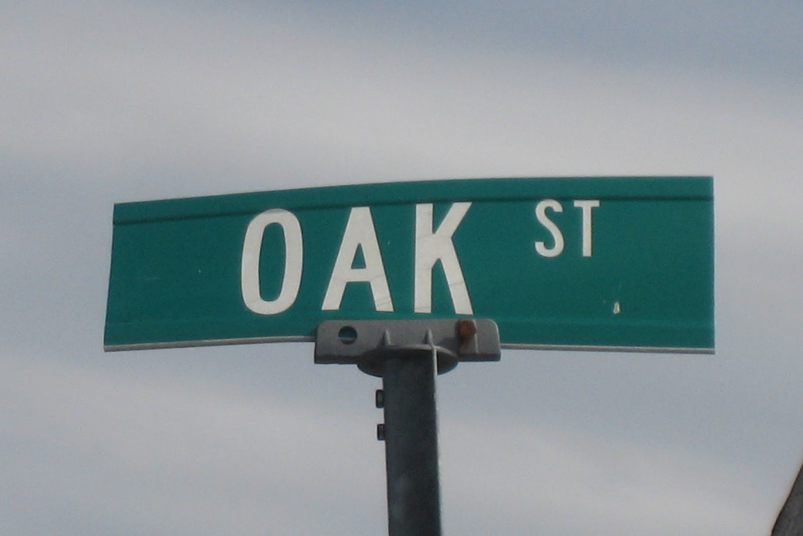
As a side note, of the 25 street names most commonly found across all 351 towns and cities of Massachusetts, Maynard matches for 18, including the top five (Maple, Park, Pine, Pleasant, Oak) and three of the next five: Elm, Main and Lincoln but not Highland or Cross (although Mill Street was Cross Street back in 1887). At least one street name -
 According to a recent survey of all roads in Maynard by Beta
Group, a consulting company, the totals came to 41.32 miles of accepted roads, 14.57 miles of unaccepted roads and 0.40 miles of state-owned roads, for a
total of 56.29 miles. I believe this total does not include private roads nor
roads that were abandoned, examples of the latter being roads that existed in
land taken by the U.S. Army in World War II, currently incorporated into the
Assebet River Wildlife Refuge.
According to a recent survey of all roads in Maynard by Beta
Group, a consulting company, the totals came to 41.32 miles of accepted roads, 14.57 miles of unaccepted roads and 0.40 miles of state-owned roads, for a
total of 56.29 miles. I believe this total does not include private roads nor
roads that were abandoned, examples of the latter being roads that existed in
land taken by the U.S. Army in World War II, currently incorporated into the
Assebet River Wildlife Refuge. Reasons for the survey were to evaluate whether unaccepted
roads - currently not maintained by the Town - could be brought up to code and
accepted, and to develop a three year plan for road and sidewalk repair and
resurfacing. It is also important that the MA Department of Transportation concur
with the Town on number of miles of accepted roads, as that dictates state
funding aid for road repair.
Reasons for the survey were to evaluate whether unaccepted
roads - currently not maintained by the Town - could be brought up to code and
accepted, and to develop a three year plan for road and sidewalk repair and
resurfacing. It is also important that the MA Department of Transportation concur
with the Town on number of miles of accepted roads, as that dictates state
funding aid for road repair.
A problem with using a map of Maynard to research roads is
there is no single, completely correct, map of Maynard. The last commercially
printed atlas of Middlesex
County 42nd Street among
them - and obviously did not include streets built since then, such as Karlee Drive or Keene Avenue .
E-maps, although continually being updated, do not always
agree with reality or each other. In real life Maynard has a Latta Lane , off Waltham Street , but neither Google Map or
Mapquest think it exists. Meanwhile, both show Puffer Road but only Mapquest names it
(it's abandoned).
 |
| Street sign in compliance with almost all of the regulations (should be upper and lower case in Highway Gothic) |
And now, to move our focus from an obscure to an abstruse
topic, none of the street name signs in Maynard comply with current state
regulations. State code calls for street signs to be adequately reflective and
with lettering in upper and lower case Highway Gothic typeface. On major
streets the lettering to be six inches for the capital letters and 4.5 inches
for the rest. Side streets can use lettering 2/3 those sizes. All signs to have
rounded corners, white borders, white lettering and green background. Inclusion
of a town seal is optional. As Maynard's signs - even the newest - use all
capital letters, every one must in time be replaced. [2018: a few signs converted to upper and lower case lettering.]
 |
| Street name for Route 27, up by Christmas Motors |
Big oops! After years of research a federal recommendation was made in 2004 to switch from Highway Gothic typeface to Clearview - supposedly easier to read. And then, in February 2016, the federal government rescinded its order, reverting to Highway Gothic. Turns out the original comparison research was flawed, in that it had compared brand new signs in Clearview with existing signs in Highway Gothic. The legibility difference was due to fade, not font. For some types of signs Clearview is actually harder to read at night.
NOT IN THE NEWSPAPER ARTICLE
Named streets with no signs (updated January 2018): Fifth Street Shore Avenue Stow Tower Road White
Pond Road (only sign is in Stow).
 |
| Old street sign: black letters on white background |
White signs with black letters (as of March 2016): Boeske Avenue, Dartmouth Court, Guyer Road, Reo Road and Winthrop Avenue.
Acton and Concord have begun to install signs in upper and lower case lettering. Interestingly, in the South Acton Historic District, the signs have a black background instead of green.
Acton and Concord have begun to install signs in upper and lower case lettering. Interestingly, in the South Acton Historic District, the signs have a black background instead of green.
No comments:
Post a Comment